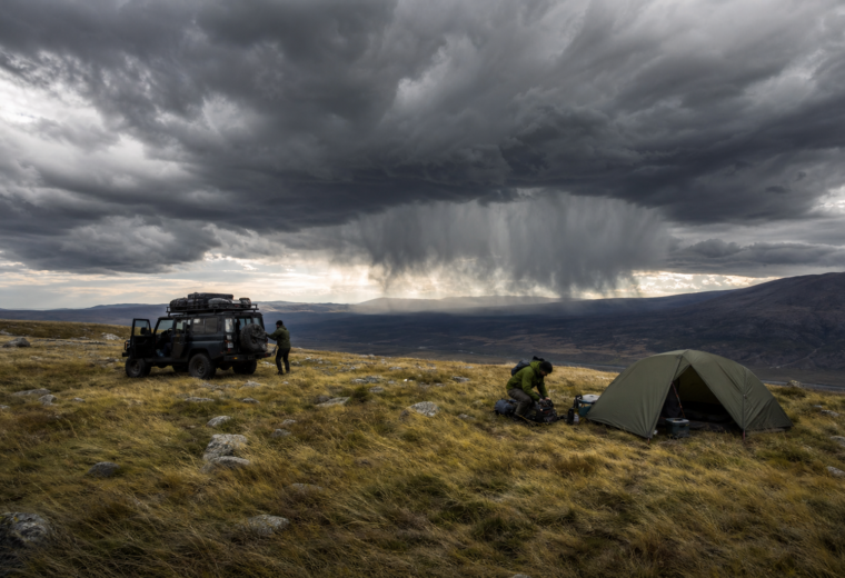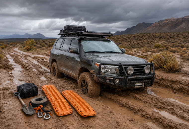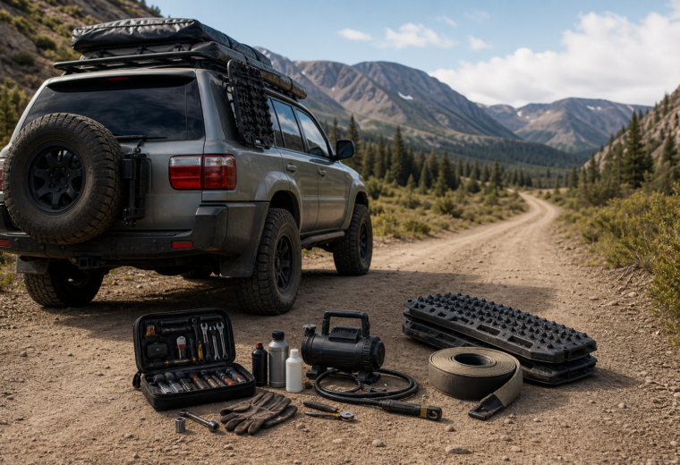
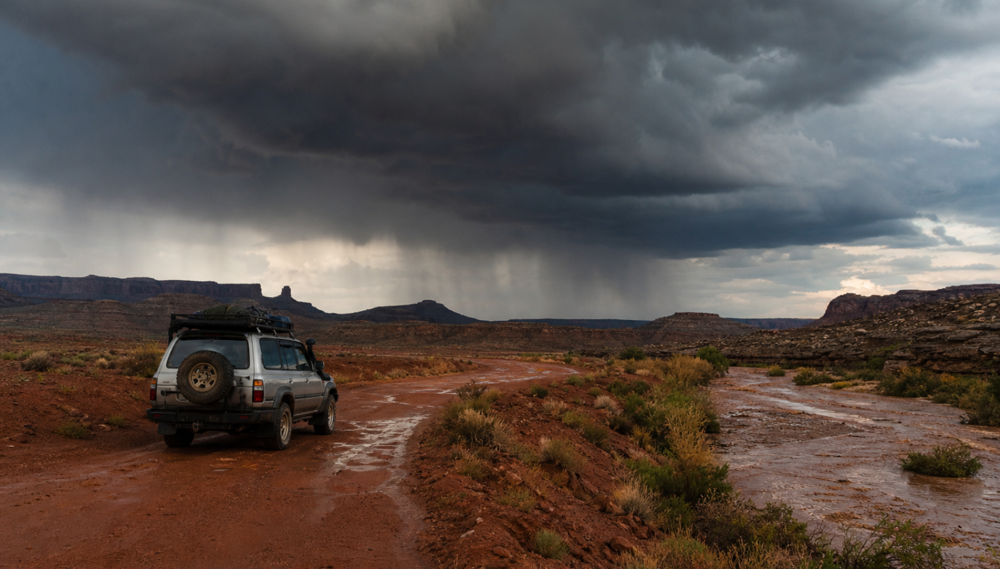
Southwest monsoon season can turn a routine overland day into a recovery problem in less than an hour. In the desert and canyon country, the biggest danger is not usually steady all-day rain. It is fast, localized weather that changes road conditions, visibility, traction, and flood risk with very little warning. For overlanders, that means the best monsoon strategy is not simply “drive carefully in rain.” It is learning how storms behave across dry country, planning routes around drainage and soil type, choosing camps with more discipline, and checking weather often enough to stay ahead of the problem instead of reacting inside it.
Why the Southwest monsoon catches travelers off guard
Monsoon season in the American Southwest typically builds through summer as moisture increases and afternoon thunderstorm activity becomes more common. The pattern is familiar: hot morning, clouds building by midday, storms firing in the afternoon, then localized downpours, gust fronts, lightning, and temporary road failures. What makes this hazardous for overlanders is the mismatch between how dry the landscape looks and how violently it can respond to short bursts of rain.
In many overland areas, water does not soak in quickly. Hard-packed desert surfaces, slickrock, burn scars, shallow soils, and narrow drainages all push runoff downhill fast. A road that looks firm at noon can be cut by flowing water at 2 p.m. A campsite beside a dry wash can look perfectly safe at sunset and become dangerous overnight from a storm that happened miles away.
The practical lesson is simple: during monsoon season, your route is never just a line on a map. It is a drainage problem, a timing problem, and a terrain problem.
The main hazards overlanders need to watch for
Flash floods are about upstream rain, not just local rain
Flash floods are the signature monsoon hazard. The most common mistake is assuming you are safe because the sky above you is only lightly raining, or not raining at all. In the Southwest, floodwater often arrives from storms upstream in a drainage basin. Dry washes, slot canyons, low-water crossings, and the mouths of side canyons can all carry sudden water and debris.
This matters especially for travelers who like to camp near washes because they appear flat, sheltered, and easy to access. Those same features make them natural runoff channels. Even a broad, sandy arroyo can go from empty to impassable quickly.
Field rule: If a spot shows evidence that water has ever wanted to use it as a path, do not treat it as a safe camp during monsoon season.
Washouts and road damage happen before roads officially close
Remote roads often fail in small ways before they fail in obvious ways. The first signs may be undercut shoulders, deepened ruts, exposed rock ledges, loose berm edges, or sections where moving water has stripped away the road crown. Overlanders in high-clearance rigs sometimes push past these early warning signs because the road still appears technically passable. That is how minor weather becomes a vehicle-damage event or a no-exit situation.
Two-track desert routes are especially vulnerable where they cross washes repeatedly. Forest roads in mountain zones may hold together better at first, but they can become slick, blocked by debris, or deeply rutted after heavy runoff. The issue is not just traction. It is whether the next mile contains a damaged crossing that you cannot safely reverse away from once committed.
Lightning exposure is a bigger problem than many campers expect
Open desert, ridgelines, exposed overlooks, and isolated trees all increase lightning risk. Many travelers focus on flood danger and forget that monsoon storms often arrive with intense electrical activity before heavy rain ever starts. If you are hiking away from the vehicle, setting up camp on high ground, or lingering for photos on a viewpoint, you may be most exposed during the storm’s build phase rather than its peak.
Your vehicle is often your best available shelter if it is a fully enclosed metal-bodied vehicle. A rooftop tent, open awning, shade shelter, or standing under a rock overhang is not equivalent protection.
Monsoon weather can worsen heat stress instead of relieving it
Many travelers assume storms mean cooler, safer conditions. Sometimes they do, but monsoon days can also bring high humidity, sticky overnight temperatures, and a fatigue-inducing combination of heat and moisture that slows recovery. Add interrupted travel, recovery work in mud, and delayed water resupply, and heat risk can actually rise.
This is especially important for solo travelers and for anyone driving a heavily loaded vehicle without strong cabin cooling, reliable hydration habits, or a realistic turnaround time. When storms reduce your pace, the heat problem does not disappear. It just changes form.
Route planning that respects monsoon reality
Good monsoon planning starts before the trip, not when clouds appear. The right question is not “Can my vehicle make this trail?” It is “What happens to this route after one hour of hard rain?”
Study drainage as carefully as distance
When reviewing maps, identify washes, creek crossings, slot canyons, low basins, and repeated drainage cuts. Satellite imagery helps, but topographic lines often tell the real story. A route that crosses one major drainage may be manageable with caution. A route that crosses ten minor washes in fifteen miles can become a trap when each crossing changes shape after runoff.
Pay close attention to:
- Entry roads with only one practical exit if a wash crossing becomes impassable
- Canyon-bottom tracks that concentrate both water and debris
- Clay-heavy surfaces that turn to slick, tire-packing mud
- Burn scars where runoff can become more violent and debris-laden
- Long descents into basins where water collects faster than expected
Build in alternatives, not just destinations
A solid monsoon route plan includes at least one alternate camp zone, one alternate exit, and a point at which you stop advancing if weather trends worsen. Overlanders often spend time planning fuel and water but not enough time planning retreat. In monsoon season, retreat is part of the route, not an admission of failure.
If your day depends on crossing a wash late in the afternoon after storms have developed, the plan is weak. Shift travel earlier, shorten the day, or pick a route with more stable surfaces and more exit options.
Daily weather checks that actually help
Checking “the weather” once in the morning is not enough during monsoon season. What matters is trend, location, and timing.
Use point forecasts, radar, and watches together
A regional forecast can tell you that storms are possible across a broad area, but overlanders need more precision. Check a point forecast for the exact area you expect to travel through, review radar before you break camp, and check again before committing to washes, canyon routes, or exposed high ground.
Watches and warnings matter because they tell you when a day has moved from typical storm potential to elevated consequence. A flash flood watch should change your route mindset. A flash flood warning near your drainage should change your route immediately.
Pay attention to storm timing, not just precipitation chances
A 30 or 40 percent storm chance may not sound dramatic, but if storms typically build between 2 p.m. and 6 p.m., that window should shape your day. Cover the most flood-prone or remote terrain in the morning. Save easier roads, resupply, or fixed camp tasks for later when convective activity peaks.
Also watch for signs on the ground: rising humidity, stronger cumulus build-up over mountain ranges, gusty outflow winds, and sudden temperature drops. These often arrive before heavy rain reaches you.
Choosing safer campsites during monsoon season
Monsoon camping discipline is mostly about avoiding the places that are convenient for the wrong reasons.
Skip the obvious drainage features
Avoid camping in washes, on sandy flats connected to washes, at the mouths of canyons, or on debris fans where water has clearly spread before. Look for elevated benches, gently sloped ground with clear runoff paths away from camp, and surfaces that will not turn into a mud pit if rain arrives overnight.
Manage lightning exposure in camp layout
Do not camp on the highest local point. Avoid isolated trees and narrow ridge crests. If storms are likely, think through where you would move quickly if lightning becomes active. That includes retracting awnings early, securing loose gear before the wind hits, and keeping essentials organized so you are not scrambling in blowing rain.
Think about the morning after, not just the evening view
A scenic camp is a poor choice if one storm can leave you unable to climb out. Before settling in, ask whether the access road will still be drivable after rain. Sandy access may improve with moisture, but clay, bentonite, or fine silt roads can become dangerously slick even for well-equipped four-wheel-drive vehicles.
Driving tactics when storms are in play
Monsoon driving rewards patience more than capability.
- Start early. Move through your most vulnerable terrain before the afternoon storm cycle strengthens.
- Stop before the crossing, not in it. If water is moving across a road, do not let schedule pressure make the decision for you.
- Respect mud as much as water depth. Sliding off a crowned road into a rut or embankment is often the real failure point.
- Turn around while it is easy. The best turnaround is the one you make 20 minutes before everyone agrees it was necessary.
- Preserve communication and power. Keep radios, phones, battery packs, and navigation tools topped up before weather disrupts your timeline.
If you are traveling in a group, space vehicles out on questionable surfaces and avoid stacking multiple rigs into a hazard zone like a wash crossing or steep muddy climb. One stuck vehicle is manageable. Several committed at once create congestion, risk, and poor decision-making.
What to do when conditions start going bad
When the situation is shifting, speed of judgment matters more than speed of travel.
- If flood risk is rising: Move to higher ground away from drainage channels and do not attempt to “beat” incoming water through a crossing.
- If lightning is active nearby: Get off ridgelines, away from isolated tall objects, and into a more protected position, ideally inside the vehicle.
- If roads are degrading: Stop and reassess before the next obstacle commits you deeper. A controlled retreat is better than a late recovery.
- If heat is compounding delays: Shift to shade, hydrate early, and reduce unnecessary exertion while you wait out weather or route decisions.
The common thread is avoiding the trap of partial commitment. Monsoon incidents often happen when people keep moving just a little farther in hopes that conditions will improve around the next bend.
Key Takeaways
- Flash flood risk depends on upstream rain, not just what is happening over your camp or vehicle.
- Route planning during monsoon season should prioritize drainage crossings, soil type, and exit options as much as mileage.
- Check point forecasts, radar, and watches repeatedly through the day, especially before committing to washes, canyons, or remote loops.
- Choose camps on elevated ground away from washes, canyon mouths, isolated trees, and ridge crests.
- Early starts, conservative turnarounds, and patience around water and mud keep overlanders mobile and out of preventable recovery situations.
Related Resources
- https://www.weather.gov/safety/flood — National Weather Service flood safety guidance with practical flash flood information that applies directly to desert travel and low-water crossings.
- https://www.weather.gov/safety/lightning — Official lightning safety recommendations that are especially useful for exposed camps, ridgelines, and hiking away from the vehicle.
- https://radar.weather.gov/ — NOAA’s radar portal for checking storm development and movement before you commit to a route or afternoon travel window.
- https://www.weather.gov/ — The National Weather Service homepage provides access to local forecast offices and point forecasts for the exact areas you plan to travel through.
- https://www.ready.gov/heat — Ready.gov’s heat guidance is a useful refresher on recognizing heat stress when humidity, delays, and recovery work stack up during monsoon travel.