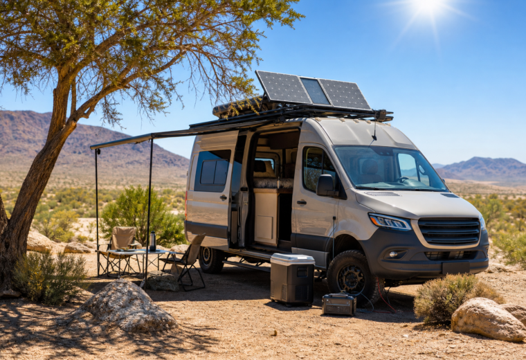
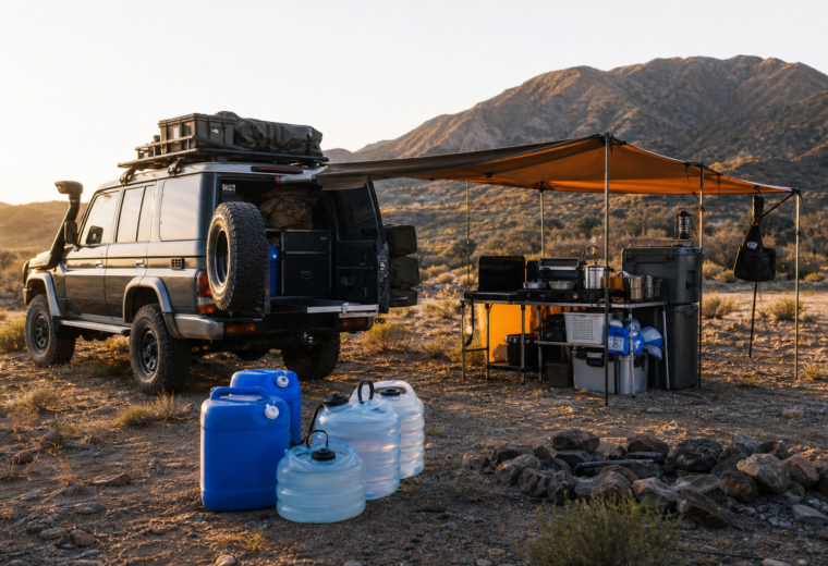
Navigation is a core skill for anyone traveling off the beaten path—especially vanlifers, overlanders, and boondockers who often stray outside cell coverage. This guide walks you through using paper maps, a magnetic compass, and GPS devices, explains when to trust electronics versus traditional skills, and provides simple drills plus a printable checklist so you can build confidence before your next trip.
Essential tools: map, compass, and GPS — what each does best
Before we dive into how to use each tool, here’s a quick comparison to guide your planning.
- Topographic paper map — Best for big-picture context, route planning, and backup when electronics fail. No batteries required; shows terrain, contour lines, and named landmarks.
- Magnetic compass — The universal instrument for direction. Lightweight, reliable, and useful for following bearings and orienting a map.
- GPS (dedicated unit or smartphone) — Excellent for precise location, route tracking, and navigation in complex networks. Dependent on satellites and power; can fail in deep canyons or heavy canopy.
Map basics: reading a topo map step-by-step
Start with a current topographic map of the area you’ll be traveling. Paper maps often show relief, contour intervals, trails, roads, and water features—details that are essential off-grid.
- Identify the map scale and contour interval. The scale tells you distance (e.g., 1:24,000 = 1 inch equals 2,000 feet). Contour intervals reveal how steep the terrain is.
- Locate your start point and intended destination. Find named roads, trailheads, rivers, or other fixed features you can confirm on the ground.
- Note magnetic declination. The map margin lists declination (difference between true north and magnetic north). You’ll need this for accurate compass use.
- Plan a conservative route. Mark alternate escape routes, water sources, and likely campsites. Estimate distances using the map scale.
Compass fundamentals: simple, reliable, and quick
A basic orienteering compass (baseplate with rotating bezel and direction-of-travel arrow) is ideal. Here’s how to use it for two common tasks.
Orienting your map
- Lay the map flat and place the compass on the map with its edge aligned to a north-south grid line (or the map’s vertical edge).
- Rotate the map and compass together until the red magnetic needle points to magnetic north on the compass. If the map is aligned to true north, adjust for declination first.
- Now the map’s features line up with the terrain; you can match landforms and landmarks to what you see in front of you.
Taking and following a bearing
- Identify your starting point and the destination feature on the map. Place the compass edge between them with the direction-of-travel arrow pointing toward the destination.
- Rotate the compass housing so its orienting lines are parallel with the map’s north-south lines (taking declination into account).
- Read the bearing from the compass. To follow the bearing on the ground, hold the compass level, rotate your body until the magnetic needle aligns with the orienting arrow, and walk in the direction-of-travel arrow.
GPS: practical tips for reliable use
Modern GPS devices and smartphone navigation apps are powerful, but they require planning to remain useful when you need them most.
- Preload offline maps: Download the required topo tiles or offline maps (e.g., Gaia, Maps.me, Garmin) before you leave cell coverage.
- Save waypoints and routes: Mark key points (camps, trail junctions, water sources) and export them to multiple devices where possible.
- Conserve battery: Dim screen brightness, use airplane mode with GPS enabled if possible, carry a small solar panel or power bank, and consider a dedicated GPS with long battery life.
- Verify GPS location on a map: Cross-check the GPS position with your paper map and compass if accuracy is critical or you suspect signal errors.
Safety note: GPS devices can provide a false sense of security. Always carry a paper map and compass as primary backup—electronic navigation is a tool, not a guarantee.
When to trust electronics and when to rely on paper skills
Use this practical rule-of-thumb to decide which system to trust in the field.
- Trust GPS first when: You have clear sky view, fresh batteries, offline maps loaded, and you need precise coordinates (e.g., locating a discrete campsite or navigating complex road networks).
- Trust map and compass first when: Batteries are low, you’re in heavy canopy or canyon where GPS signals are degraded, or when you need strategic route decisions based on terrain (contours, slope, water).
- Always cross-check: Periodically verify your GPS track against the map and compass—this reduces cumulative errors and prevents overreliance on a single device.
Simple drills to build navigation confidence
Practice is the fastest way to get comfortable navigating. Run these drills near home before you try them on a trip.
- Orient-and-match (10–15 minutes): At a local park, lay a map and orient it. Identify three features on the map and then find them on the ground purely by map-checking and landmark recognition.
- Bearing follow (30 minutes): Have a partner pick a bearing of 200–400 meters and mark a hidden waypoint. Use only your compass and pacing to walk to it. Reverse the bearing to return to the start.
- Resection/triangulation (15–20 minutes): From a single point, take bearings to two or three known landmarks and plot them on the map to find your position.
- GPS-to-map cross-check (1 hour): Record a short track on your GPS device while navigating with a map and compass at the same time. Compare the recorded track to your estimated route to see where errors occurred.
- Lost-scenario drill (simulation): Deliberately “lose” your waypoint on a planned route, then practice re-locating your position by identifying visible features and orienting the map.
Printable checklist: navigation kit and pre-trip checks
- ☐ Paper topographic map(s) for the area (waterproof if possible)
- ☐ Compass with declination adjustment or declination chart
- ☐ GPS device and/or smartphone with offline maps downloaded
- ☐ Extra batteries or a power bank and charging cables
- ☐ Protective map case or dry bag
- ☐ Notebook and pencil for recording waypoints or notes
- ☐ Headlamp or flashlight with spare batteries
- ☐ Spare memory card or external storage for routes (optional)
- ☐ Plan printed or written with primary and alternate routes, expected times, and check-in points
- ☐ Emergency contact and location-sharing plan
Pre-trip routine:
- ☐ Verify maps are current and relevant.
- ☐ Check GPS batteries, confirm offline maps are loaded.
- ☐ Set compass declination or note it on the map.
- ☐ Save key waypoints (start, camp, water, exits) to device and on paper.
- ☐ Run a quick compass-and-map orientation at your departure point.
Field tips for real-world travel
- Pace count: Learn your stride length and count paces to estimate distance when no trail is available. Combine with bearings to locate features.
- Use recognizable features: Fence lines, power poles, river bends, and building corners are easier to spot from a distance than small contour features.
- Night navigation: Use your compass and map more than your GPS at night to save battery and avoid disorientation—mark your campsite with a waypoint during daylight.
- Weather and temperature: Cold reduces battery performance. Keep devices insulated and warm when not using them.
Closing practical advice
Regular practice makes the difference between anxious navigation and confident travel. Start with short, repeatable drills and gradually add complexity: longer distances, steeper terrain, and low-visibility conditions. Treat your GPS as a powerful assistant, not a sole solution. With a reliable map, a well-tuned compass, and practiced habits, you’ll be ready for most off-grid navigation challenges.
Key takeaways
- Bring all three tools: map, compass, and GPS—each has strengths and none is perfect alone.
- Practice basic skills: orienting a map, taking/following bearings, and performing resection will get you unstuck when electronics fail.
- Plan and prepare: preload offline maps, save waypoints, and carry spare power and a printed plan.
- Run drills: simple, frequent practice builds real confidence for off-grid travel.