For centuries, humans have looked to the night sky to find their way. Before the advent of GPS and digital maps, sailors, explorers, and nomads relied on the stars to navigate vast oceans and uncharted territories. Today, while technology dominates navigation, the ancient art of celestial navigation remains a valuable skill for outdoor enthusiasts seeking self-reliance and a deeper connection with the natural world. This guide explores the foundational techniques of celestial navigation and how modern tools can enhance your ability to traverse wilderness areas safely and confidently under the stars.
Understanding Celestial Navigation
Celestial navigation is the practice of determining your position on Earth by observing celestial bodies such as the Sun, Moon, planets, and stars. It involves measuring the angles between these bodies and the horizon at specific times to calculate latitude and longitude. This method has roots stretching back thousands of years, with early navigators using the North Star (Polaris) to identify direction and maintain course.
While the concept might seem complex, the core principles are straightforward:
- Use the stars as fixed reference points: Stars appear to move predictably across the sky due to Earth’s rotation.
- Measure angles with precision: Tools like a sextant or even a smartphone app can help you gauge angles between celestial bodies and the horizon.
- Calculate your position: Using time and astronomical data, you can determine your geographic coordinates.
Essential Tools for Celestial Navigation
While ancient navigators relied on rudimentary instruments, today’s adventurers have access to a blend of traditional and modern tools that make celestial navigation more accessible.
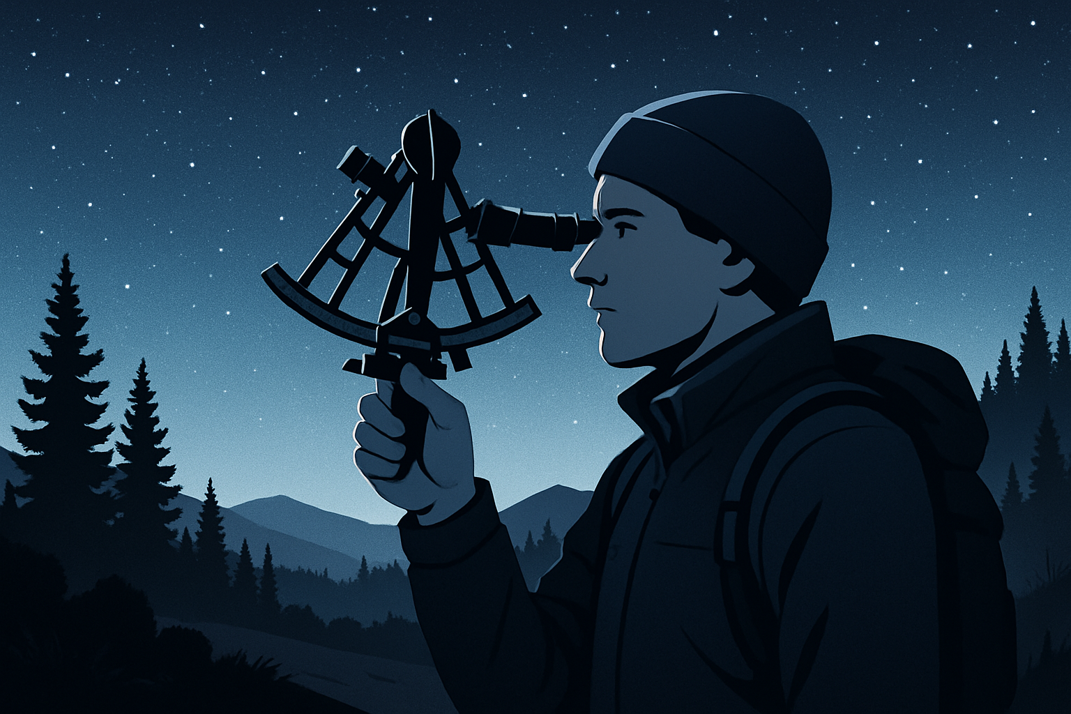
The Sextant
The sextant is the classic instrument for celestial navigation. It measures the angle between a celestial body and the horizon, allowing you to determine your latitude or longitude. Though it requires practice to use effectively, the sextant remains the most reliable analog tool for star-based navigation.
Nautical Almanac and Sight Reduction Tables
These printed or digital references provide the positions of celestial bodies at specific times, essential for converting angle measurements into positional data. Understanding how to use these tables is a fundamental skill for accurate navigation.
Modern Digital Tools
Smartphones and GPS devices often come equipped with apps designed for celestial navigation. They can simulate star maps, calculate positions based on your observations, and even integrate time signals for accuracy. However, reliance on technology should be balanced with knowledge of traditional methods in case of device failure.
Step-by-Step Guide to Navigating by the Stars
1. Identify Your Key Celestial Bodies
Start by familiarizing yourself with prominent stars and constellations visible in your hemisphere. For example, Polaris is a critical reference in the Northern Hemisphere as it aligns closely with true north. In the Southern Hemisphere, the Southern Cross constellation serves a similar purpose.
2. Measure the Altitude Angle
Using a sextant or another angular measurement tool, determine the altitude—the angle between the celestial body and the horizon. This measurement is crucial for calculating your position.
3. Note the Exact Time
Celestial navigation calculations depend heavily on precise timekeeping, usually in Coordinated Universal Time (UTC). Use a reliable watch or timepiece synchronized with UTC to record the moment of observation.
4. Consult the Nautical Almanac
Look up the celestial body’s geographic position (GP) for the exact time of your observation. The GP is the point on Earth’s surface directly beneath the celestial body.
5. Perform Sight Reduction Calculations
Using the altitude measured and the GP from the almanac, calculate your position. This involves trigonometric calculations or the use of sight reduction tables, which convert your observations into a line of position (LOP) on a chart.
6. Plot Your Position
By taking multiple sightings of different celestial bodies and plotting their LOPs, you can determine your precise location at the intersection point. This process is called a “fix.”
Practical Tips for Outdoor Enthusiasts
- Practice during clear nights: Begin in familiar settings when the sky is clear to build confidence with the tools and calculations.
- Combine with other navigation methods: Use celestial navigation alongside compasses, topographic maps, and GPS devices for redundancy and safety.
- Understand celestial movements: Learn how stars shift with seasons and latitude to avoid confusion.
- Keep a reliable timepiece: A GPS watch or a dedicated timekeeping device synced to UTC is invaluable for accuracy.
- Record your observations: Keep a navigation logbook to track readings, calculations, and conditions.
Integrating Modern Technology with Traditional Celestial Navigation
Modern outdoor adventurers benefit greatly from integrating technology with age-old navigation skills. For instance, smartphone apps like Stellarium or Sky Guide allow you to identify stars and constellations in real-time through your device’s camera. Some apps can even simulate a sextant or provide celestial navigation calculators.
GPS devices provide quick fixes, but they depend on battery power and satellite signals, which can be unreliable in remote or dense environments. Knowing how to navigate by the stars offers an independent backup, enhancing your self-reliance and safety.
Moreover, learning celestial navigation encourages mindfulness and a deeper appreciation for the night sky, fostering mental wellness—a core value for many outdoor enthusiasts living off-grid or exploring remote landscapes.
Common Challenges and How to Overcome Them
- Cloudy or obstructed skies: Plan navigation sessions during clear weather or use other methods on overcast nights.
- Light pollution: Seek dark-sky locations away from urban areas to enhance star visibility.
- Timekeeping errors: Regularly synchronize your timepiece with trusted sources and carry backups.
- Instrument handling: Practice handling the sextant or measuring tools to minimize user error.
Key Takeaways
- Celestial navigation remains a practical and empowering skill for modern outdoor enthusiasts.
- Combining traditional tools like the sextant with digital apps enhances accuracy and usability.
- Understanding star positions and mastering angle measurements are foundational to successful navigation.
- Precise timekeeping and use of nautical almanacs are critical components of celestial navigation.
- Balancing technology with traditional methods boosts safety and self-reliance in remote environments.